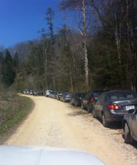
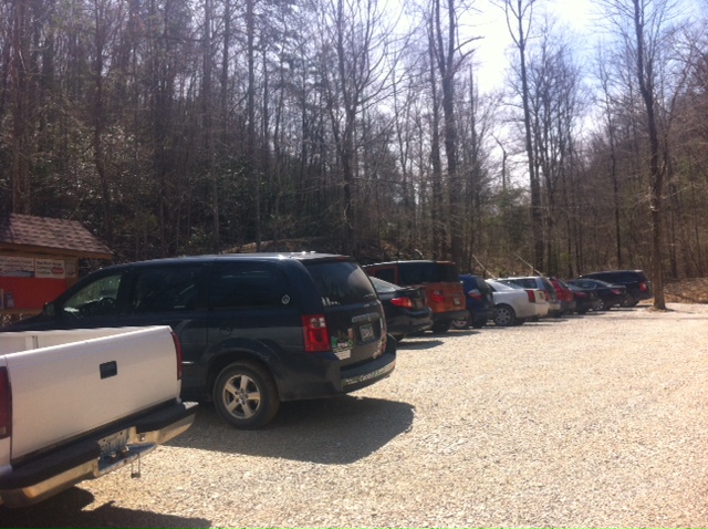
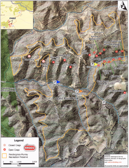
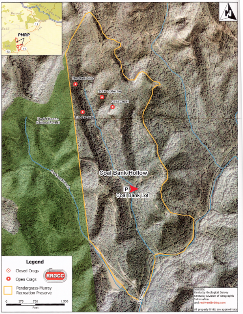
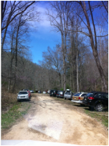
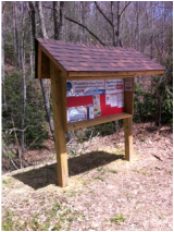
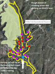
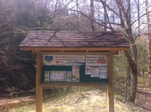
| Tourism has been working on building new informational kiosks to place in the parking areas in the Pendergrass-Murray Recreational Preserve and the new Miller Fork Recreational Preserve. These kiosks have rules of use for visitors to the area, as well as local information such as lodging, dining, and local attractions. They are still a work in progress and we hope to add more maps of the recreational areas. It was such a beautiful day on Saturday that I loaded up my parents in our old white Chevy pickup truck and headed to the kiosks. I needed to add more information to them and so we brought tacks, laminated flyers, electric drill, hammer, and super glue. We also took with us some bug spray for our ankles as ticks are already out, and wasp spray, just incase they have started to build in the kiosks. First we headed to Bald Rock road. Turns out our pickup was not 4-wheel drive and it was slow process down the huge hill into the RRGCC property. Just to be safe, 4-wheel drive is recommended if you are wanting to visit these areas. Also the speed limit is 10 mph so everyone drive slowly. What we saw at the bottom was amazing! There were cars everywhere. The first wide spot was the "Motherlode" parking area. The parking area was packed as we counted around 40 cars. Cars were also parked along the road side in every wide spot. They were from a number of states, KY, IN, OH, CO, NY, Penn, NM, NJ, MD, MI, and more. There were a surprising number of cars from Canada. Places like Ontario and Alberta. As we drove past, many cars parked along the side of the road heading to the first Kiosk in the new Flat Holler parking lot. We also saw a youth group of kids being guided that day. There were around 12 kids and they looked to be middle school age. The adults were climbing guides and everyone had bright smiles for us as we passed by. We made it to the Flat Holler Parking Lot and the first kiosk. This lot was also full with around 20 cars parked here. The neat thing about our kiosks is that they are different colors. This way if there is an emergency then you can identify which color kiosk is closest to you and the responders will have a better idea of where you are located. We are working with the Ambulance Service on identifying the color kiosks on their maps. This one at Flat Holler is bright orange. The yellow kiosk is at the Sore Heel Trail head but we couldn't get to it so I'll have to go back down there this week to fix that one. This is a very important location as this is the trail head for 12 climbing locations in the PMRP. It is also the hardest to get to. There is a hiking trail you can also take from the main road. The next kiosk is the blue one and it is located further down on the left at the Drive By / Bob Marley Parking Area. There were over 20 cars parked here also. As we were tacking up information, a young family was heading to their cars. There was two kids and they both had their hiking backpack on as they were carrying their own gear. It was a surprise to me how this rock climbing sport is growing for families and kids. As we continue along our adventure, we came to a few creek crossings as we traveled north along Bald Rock/Fixer Rd. Someone before us had lost a piece of their car in the creek. Dad and I pulled it out and loaded it in the back of the truck. As we drive north toward Coal Bank, I am reminded that this area was once full of people who lived here and worked in the coal and oil fields. A community of tent camps, buggies pulled by mule, and even a story of a hanging done at a huge oak tree along the road. We turned off to the left and head up the hill toward Coal Bank. We did loose traction a time or two but made it up. This lot was also full with around 18 cars. The Red Kiosk is here. As we were heading back out, we meet a car who was driving up the rough spot. They had momentum on their side as we backed the truck up so they wouldn't have to stop on the hill. Be careful driving around these areas as there are blind hills and you never know when a car will be coming. The only one left is in the Miller Fork Recreational Preserve, with is 300 more acres located closer to Beattyville. It is where Hell Creek and Miller Creek Converge. You have to take Shoemaker road to Hell Creek Road then turn back north and follow Miller Creek to this parking area. I have to give a big thumbs up to the Lee County Road Department. Hell Creek Road had new gravel on it and they had also cleaned out the ditch line. Miller Fork is very interesting. The road follows the creek and along the way we saw 3 broken beaver dams where they had been washed out from the flooding in March. The road was in pretty good shape as we drove back a few miles to the clearing where the new parking lot is being created. The Kiosk here is the Green one. This is also where next weekend Access Fund and the RRGCC trail days will be working most of the day Saturday, April 26th. It was beautiful weather and we enjoyed getting out. If you are curious about this area of Lee County then keep a few things in mind. First, 4-wheel drive is recommended. Second, Drive slow. Third, don't leave you trash behind. Be sure to take out what you brought in. Finally, don't be shy. Strike up a conversation with these visitors to the area. |
|
Comments are closed.
|
AuthorDedra Brandenburg Archives
September 2023
Categories |
 RSS Feed